

Daily London
The central and southern areas of the state have had some of the lowest rainfall at this time of the year on record, but that is set to change.
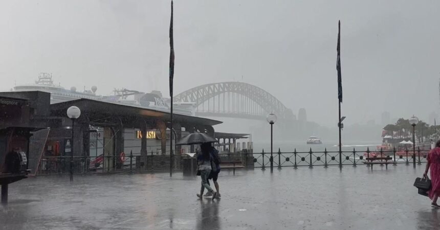
Storms in Sydney later today could bring up to 15mm of rain, with the rainfall becoming heavier over the weekend.
The southern part of the state will be hit hardest by the storm, with meteorologist Joel Pippard explaining the conditions caused by the ex-tropical cyclone are having impacts thousands of kilometres away from where it initially formed.
“As the system tracks west, bringing scattered to widespread thunderstorms on Thursday, it will spawn a coastal trough off the NSW coast,” he said.
“The moisture feed from the tropics and the Tasman Sea will deliver heavy rainfall along the NSW coast, heaviest in the far south, with a growing powerful swell to impact the coast from Friday to next Tuesday.”
Bega could receive 70mm of rain today and 90mm tomorrow, with Weatherzone predicting the town could receive up to 200mm by Tuesday next week.